

The name Gnowangerup is derived from the Aboriginal word ‘Ngow,’ meaning Malleefowl. For thousands of years, the plains around Gnowangerup were home to the Goreng Noongars, evidenced by stone implements still found along the creeks. In the mid-nineteenth century, sandalwood cutters established camps in the area, but European settlement was slow until the completion of the railway line from Tambellup in 1912.
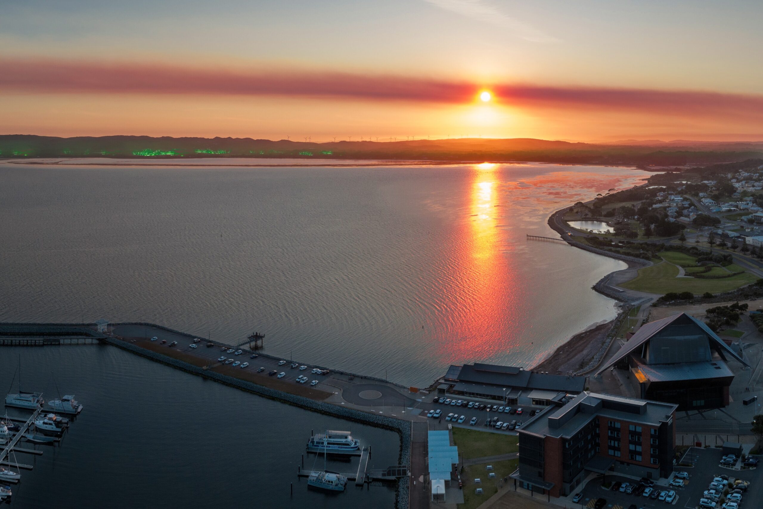
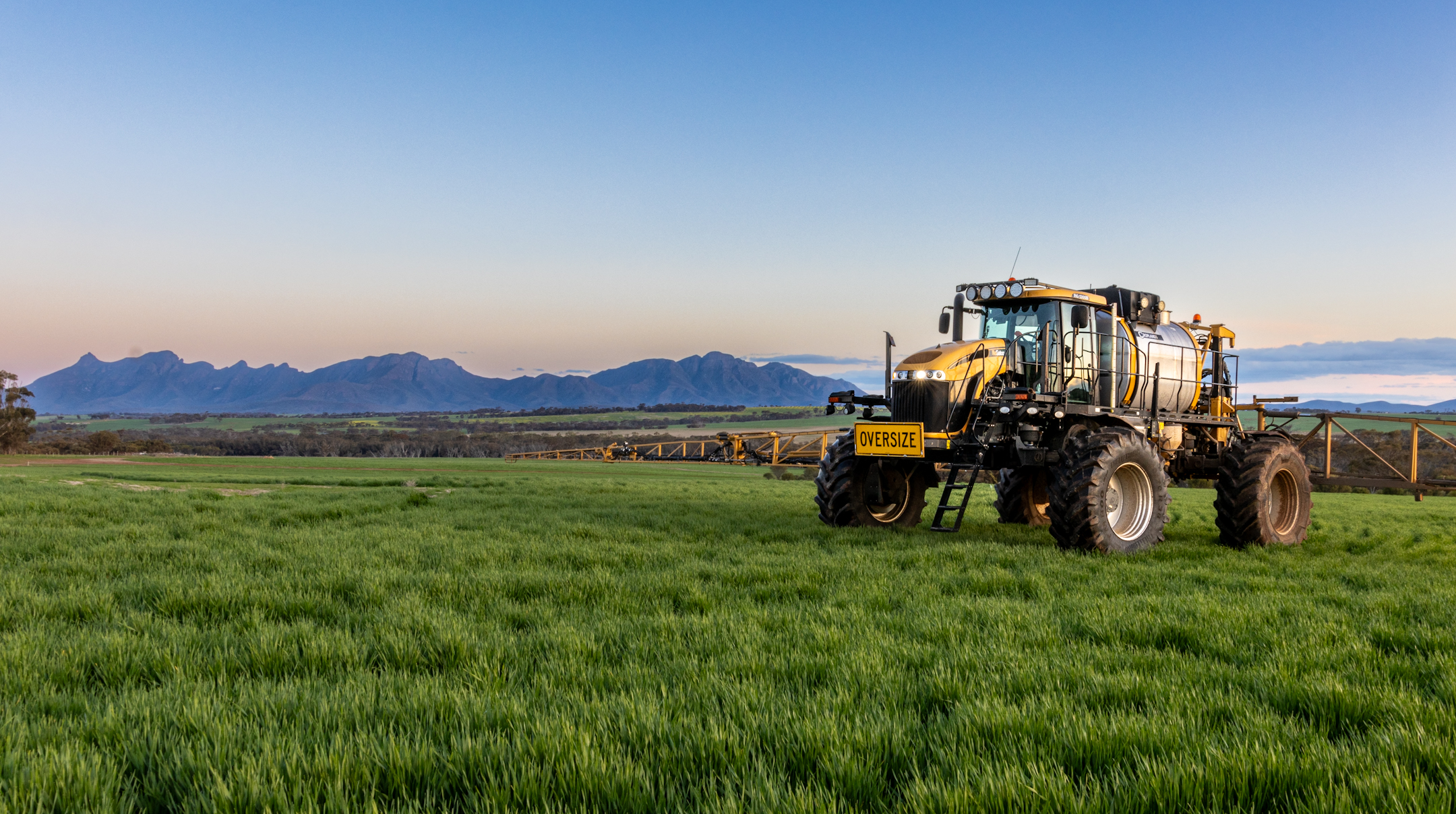
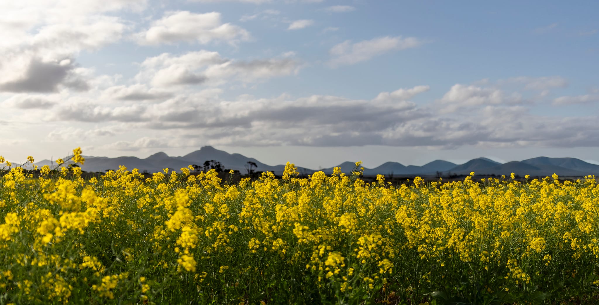
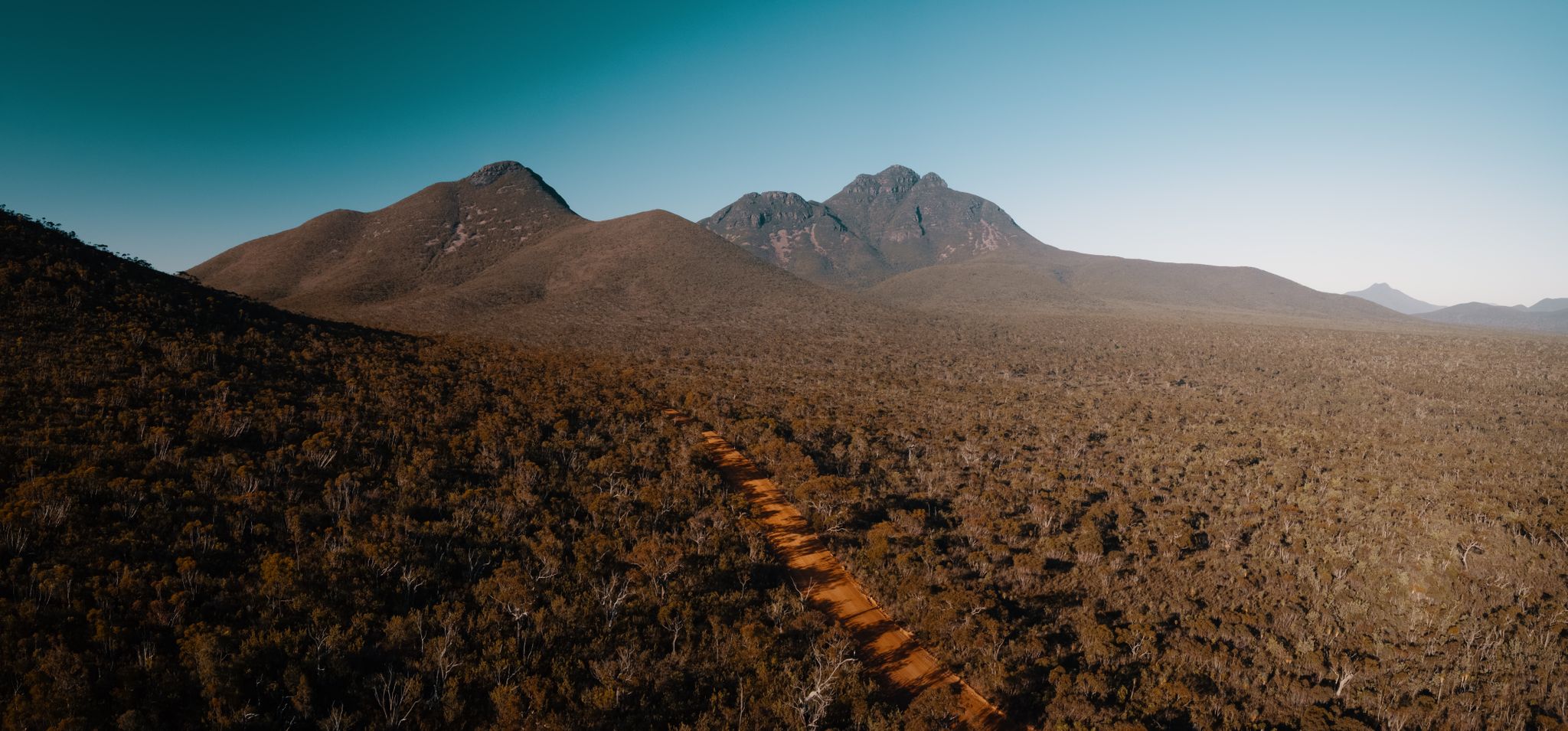
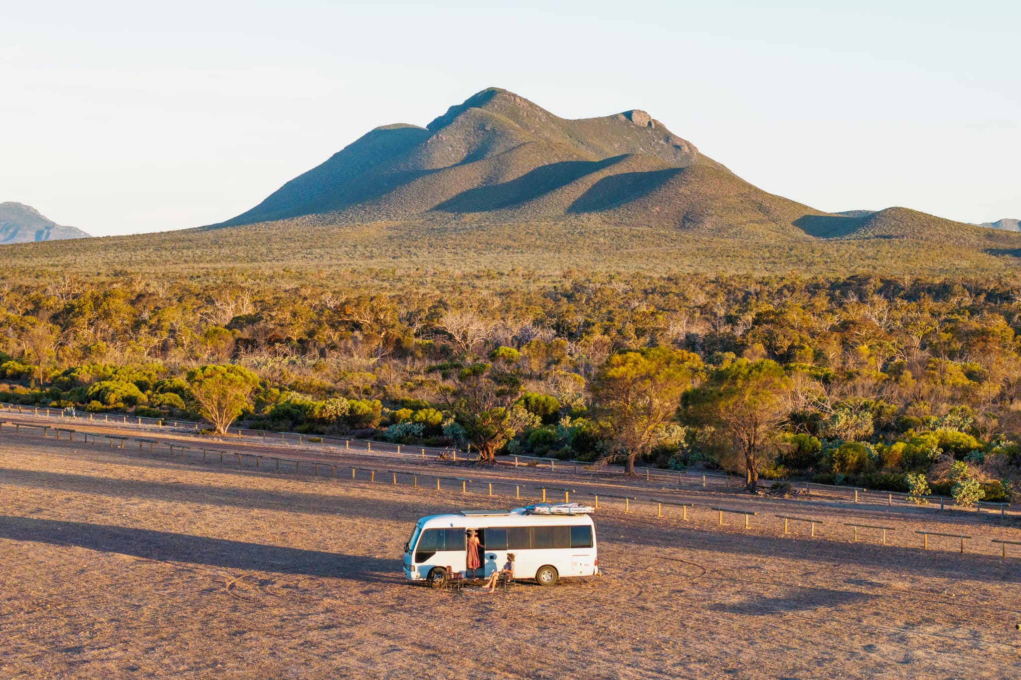
The Stirling Range is a range of mountains and hills in the Great Southern region. It is over 60 kilometres wide from west to east, stretching from the highway between Mount Barker and Cranbrook, eastward past Gnowangerup.
Notable features include Bluff Knoll (the tallest peak for a thousand kilometres or more in any direction and the most popular tourist attraction), and a silhouette called The Sleeping Princess, which is visible from the Porongurup Range.
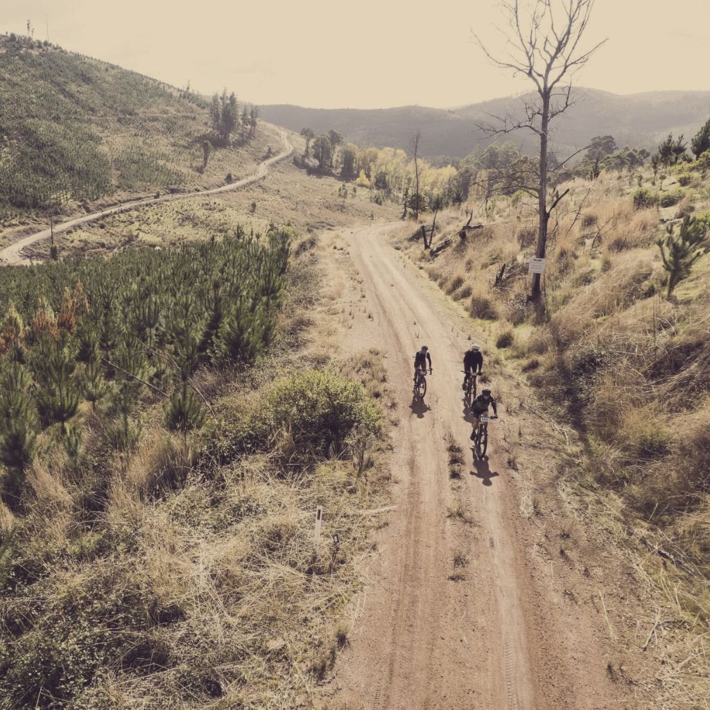
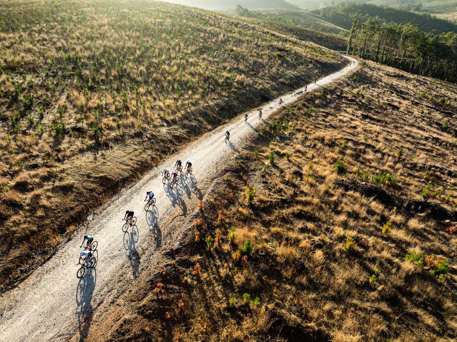
The region is also home to the Wild Gravel Trail, a scenic cycling route that winds through the Stirling Range and nearby towns including Gnowangerup. This self-paced gravel biking adventure offers participants the chance to explore remote roads, vast landscapes, and charming country communities, all while connecting with the natural beauty and rugged terrain of the Great Southern Treasures.